
“No rain, no grain” - collecting weather data is key to crop growth.
Weather monitoring is an important task for agribusiness owners, as weather conditions and the accuracy of their forecasting play a key role in agriculture. Due to climate change, farmers are forced to seek and apply new effective practices in their work. They use innovative technologies, such as GPS monitoring of equipment, online control of completed work, satellite images that determine the NDVI index, agroscouting, data from weather stations, which, when used correctly, make it possible to preserve and increase future harvests.
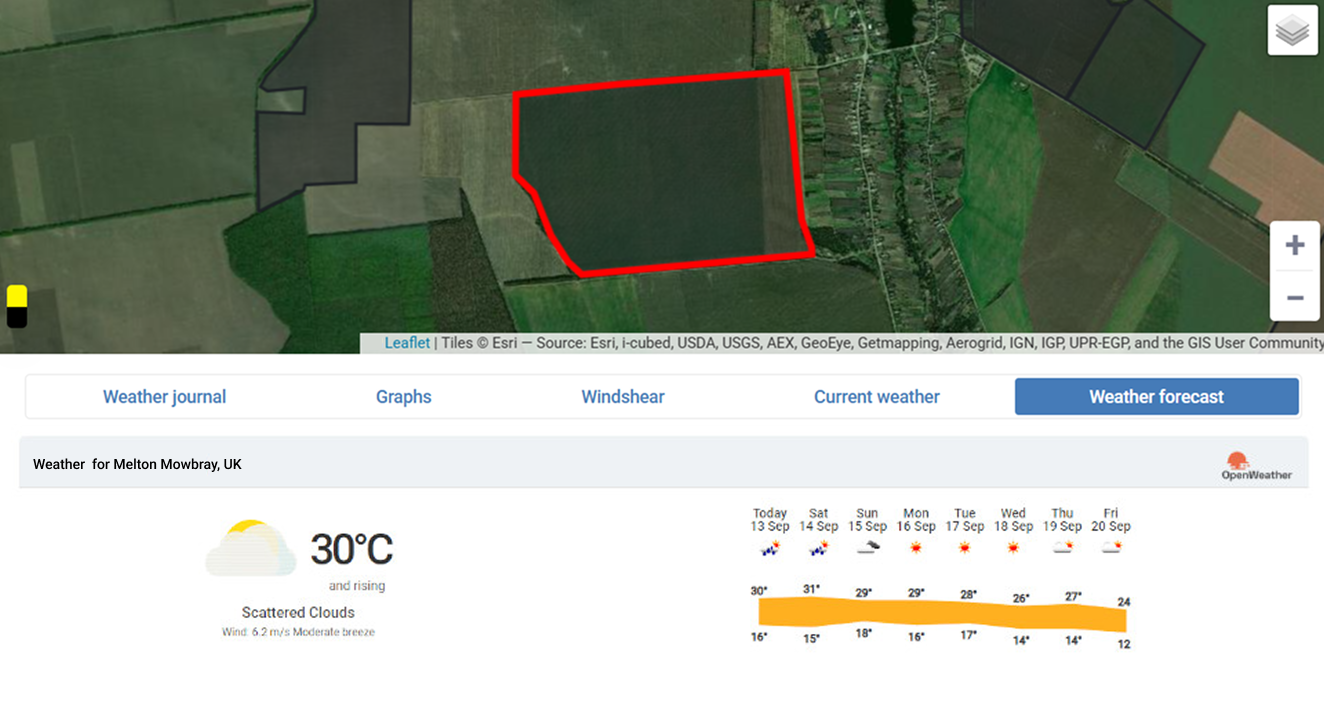
Given the importance of weather forecasting in agriculture, farmers strive to receive the most reliable information possible. Open sources do not always provide accurate data, which can have an extremely negative impact on crop growth, especially in conditions of unexpected weather changes. Understanding the need to use forecasts compiled for specific areas taking into account highly accurate data, the Agroxy team offers users of the web service improved functionality.
It is aimed at automated collection of weather information and serves to interact with specialized weather stations that help determine the parameters of the microclimate of fields for the correct and timely organization of work. Reliable data makes it possible to minimize or avoid crop losses due to adverse weather conditions, thereby increasing the economic and social efficiency of agriculture.
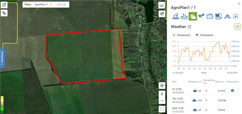
Modern agrometeorological stations are fully autonomous and are placed directly in the fields. All information collected over a certain period is processed, summarized and graphically visualized by a data recording device. After integrating the station with the Agroxy web service, farmers can access the necessary information on detailed geofence pages at any time and perform the necessary analysis. Based on the received meteorological data, it is possible to adjust the time of irrigation, treatment of crops from pests, and fertilizer application, which will help optimize the sowing campaign. Thanks to the friendly Agroxy interface, users have constant access to the system functions that make it possible to make the work of the entire enterprise more productive.
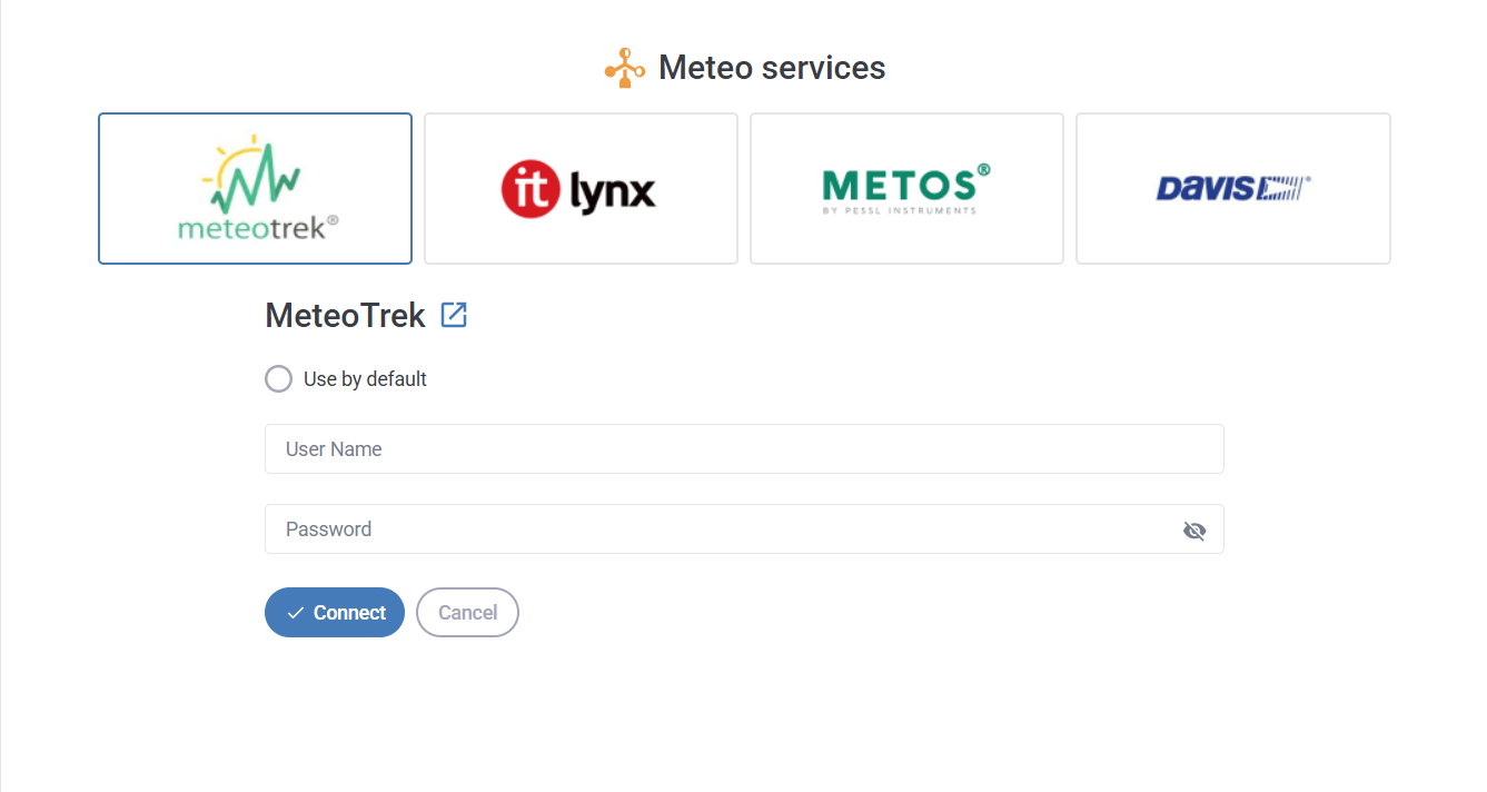
The web service combines information from weather stations from different manufacturers in a single interface. The system integrates services from reliable providers such as MeteoTrek, Metos, Davis and It-Lynx, which use modern equipment and software. When conducting professional monitoring using weather stations connected to Agroxy, all data is stored in the SF Cloud cloud storage. They are available in the form of graphs, tables and reports at any time from anywhere in the world. Collection of microclimate information provides detailed information about weather conditions in specific areas.
Location sensors using a GPS signal determine the latitude, longitude and altitude of any object in the field. Optical sensors installed on satellites or drones measure soil properties based on light characteristics, assessing the content of clay, organic matter and moisture. Electrochemical sensors record certain ions in the soil, providing farmers with data on pH and nutrient levels.
The system automatically generates wind rose maps for each field over a long period of time, as well as determining wind speed and direction at a given time, which is important for assessing pollination conditions and planning pesticide or fertilizer applications. Measuring light levels and ultraviolet radiation allows you to understand whether plants are receiving enough light for effective photosynthesis.
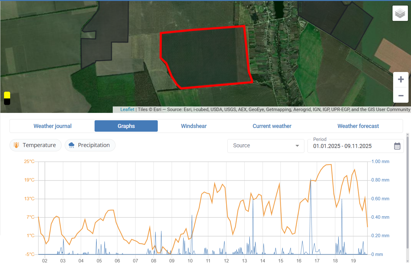
Meteorological functions available in the Agroxy system allow users to plan agricultural work based on 14-day weather forecasts, as well as determine general trends in climate change based on historical data accumulated using a weather log or obtained from public stations.
It is impossible to influence the weather, but reliable meteorological data allows you to quickly make the necessary and timely management decisions today.