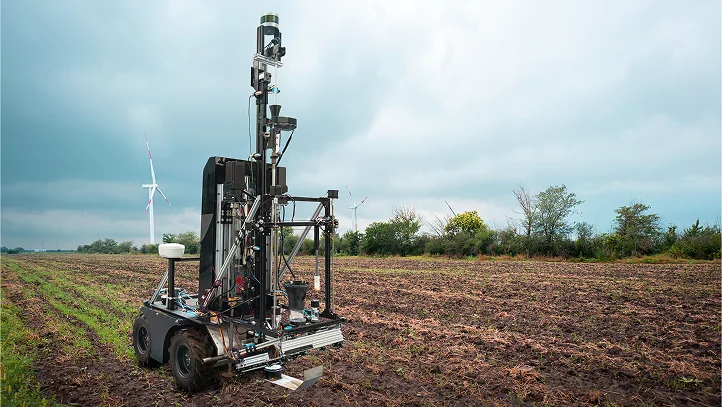
A soil analysis technology that visualizes its chemical and physical properties to improve yield and optimize fertilizer application.
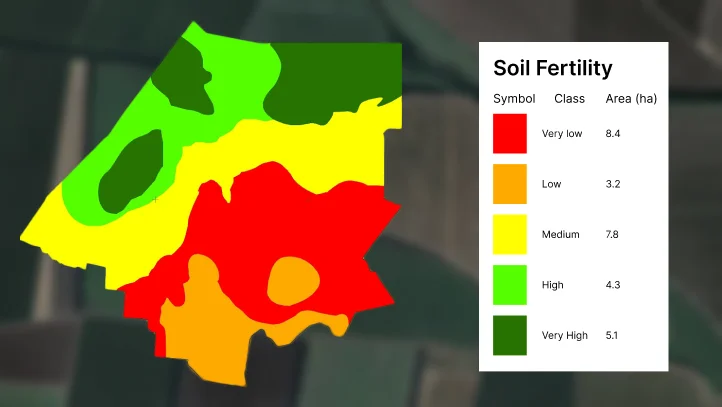
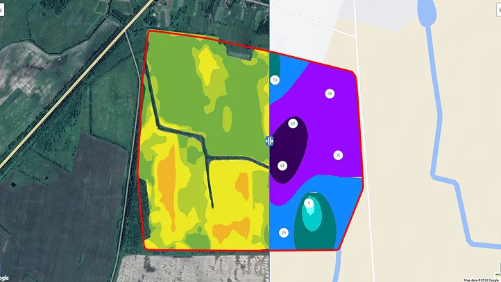
Create interactive maps of soil parameters, including humus content, nutrients, nitrogen, phosphorus, and potassium (NPK), pH levels, moisture, etc.
Import soil analysis results and file formats such as .shp, .ISO XML, .2020, or create maps manually.
The system supports spatial prediction methods like Kriging and other, enabling detailed mapping of soil property variations.
Track soil composition changes, compare data with satellite monitoring, and assess their impact on yield for optimal soil fertility management.
Efficient use of fields determines the productivity and profitability of agriculture.