is the digital mapping of agricultural land, allowing for the creation of a detailed farm map. It enables users to mark field boundaries, specify crops, analyze terrain, and monitor changes in land structure.
Precise field boundaries
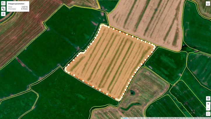
Display your plot on the map and upload files in various formats for accurate area calculation.
Drone orthophoto map
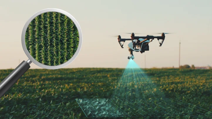
Upload orthophoto maps or capture fields with your drone from a height of 100 meters for highly detailed images.
Accurate measurements with a mobile device
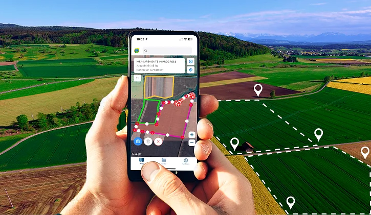
Upload data directly to the mobile app, and use GNSS antennas to achieve accuracy up to 2.5 cm for the most detailed mapping.
Boost your productivity by 20% using the Agroxy system