
Formation of a technological map for growing agricultural crops
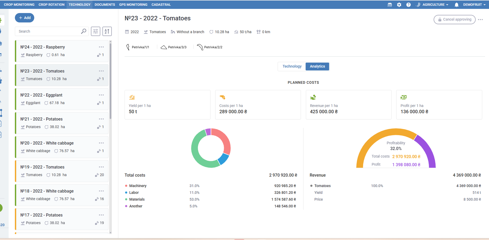
Now it has become much easier to develop a technological map for an agricultural enterprise Agroxy.Farm. New features will be of great help in performing specific agricultural tasks, namely the ability to enter tasks step by step, calculate wages and fuel costs.
This new progressive feature will enable you to increase production while reducing costs and materials, allowing you to build your work on a scientific basis.
This feature will be useful for managers and specialists of agricultural enterprises of various organizational and legal forms and various forms of ownership, as it will help you reduce the time and effort required to create a technological map.
It is aimed at automated collection of weather information and serves to interact with specialized weather stations that help determine the parameters of the microclimate of fields for the correct and timely organization of work. Reliable data makes it possible to minimize or avoid crop losses due to adverse weather conditions, thereby increasing the economic and social efficiency of agriculture.