Planning agricultural operations on paper is a slow and error-prone process. Many farmers still rely on manual methods—such as sketching field boundaries and crop locations by hand—which makes planning difficult and inflexible.
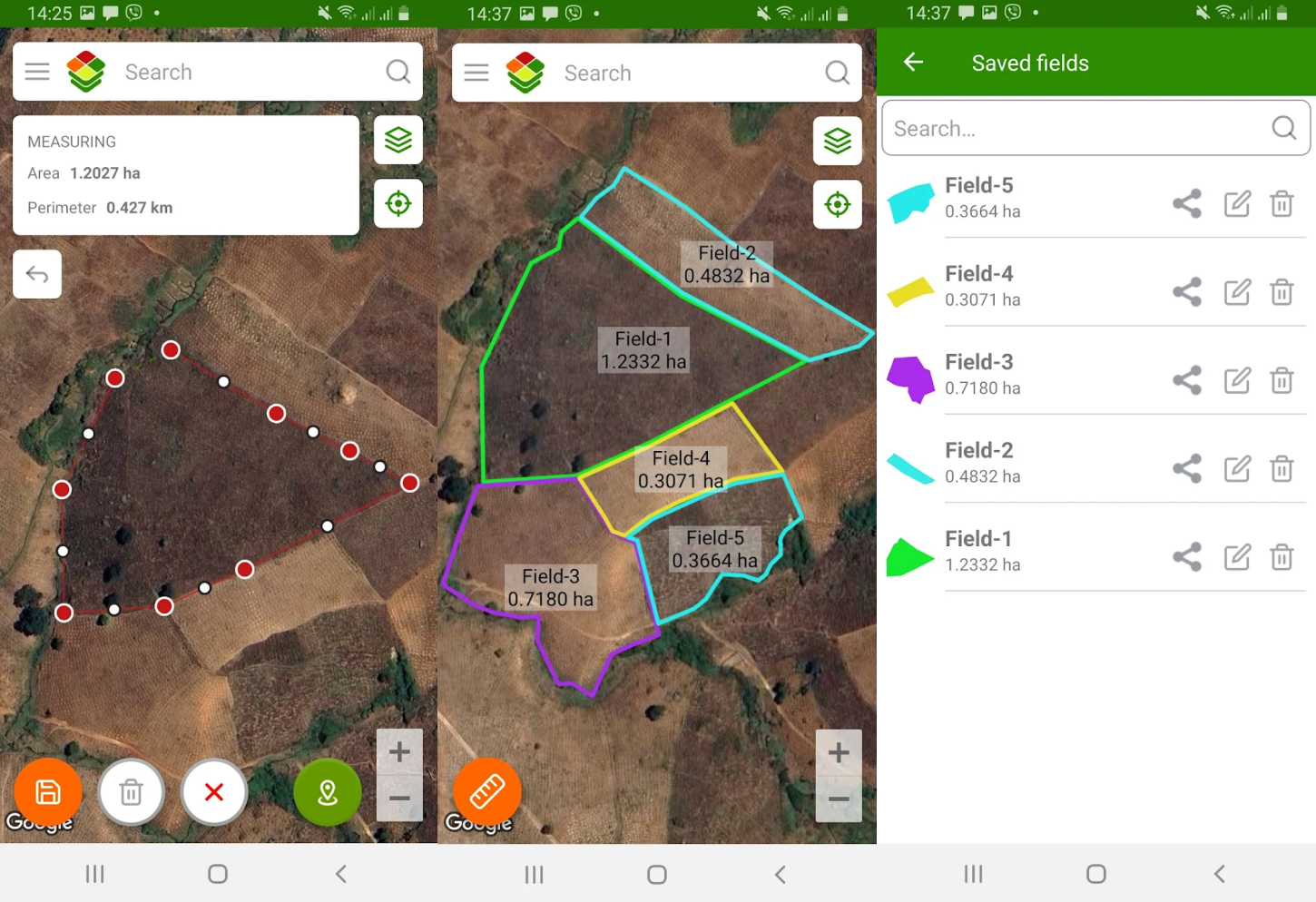
Agroxy solves this with a smart digital workflow: use the Agroxy.Fields mobile app to measure and record field boundaries directly on land
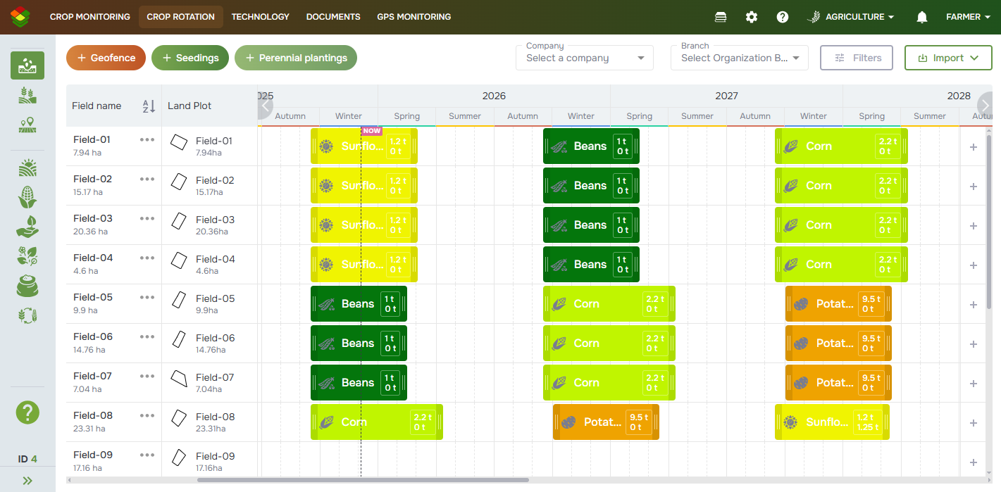
and then perform crop planning in the Agroxy.Farm web platform on diagram gant. This approach removes routine manual work, reduces mistakes, and allows fast adjustments to crop seeding.
Agroxy.Farm is built to be simple and efficient. Data entry is straightforward, and planning and analysis are intuitive—even for users without technical experience. Try it for free by registering at Agroxy.Farm